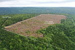
77 acres Memel Road, Curryville, New Brunswick
Here is a wonderful acreage located in Albert County New Brunswick near Shepody Bay and the Bay of Fundy coastline. Good access and excellent recreation possibilities or to simply own as a woodland investment. --- Sorry this property is SOLD ---
| Lot Size: | 77 acres |
| Location: | Memel Road, Curryville, Albert County, New Brunswick. |
| Reference #: | NB-6416 |
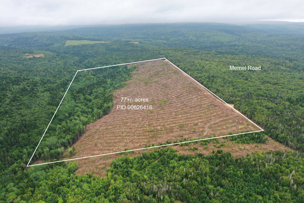
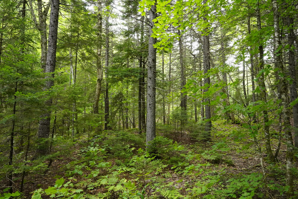
Drone photo outlining the acreage. Looking in an Easterly direction back towards Albert Mines Road and Curryville.
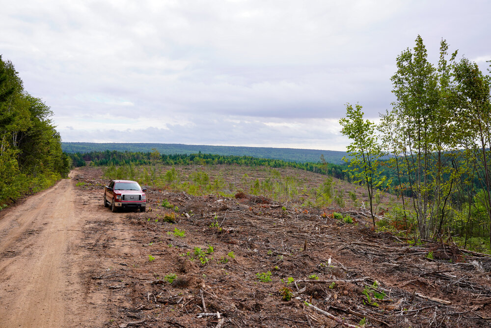
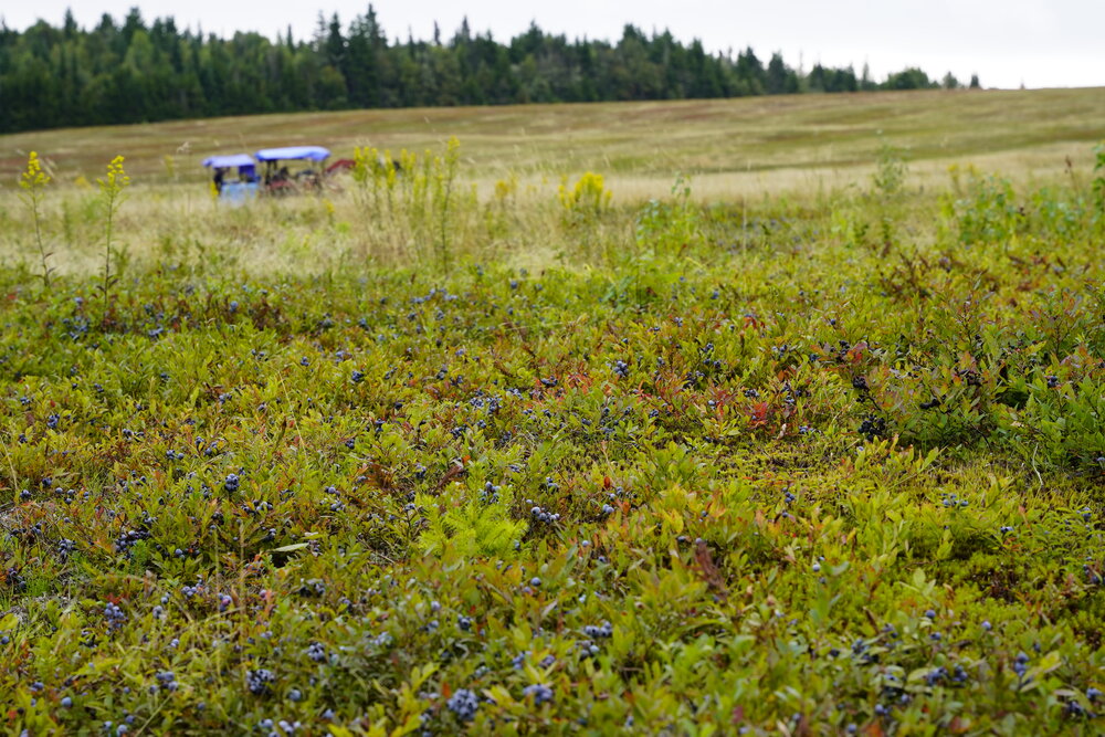
Drone photo outlining the acreage. Looking in a Westerly direction towards the blueberry field at the end of Memel Road.
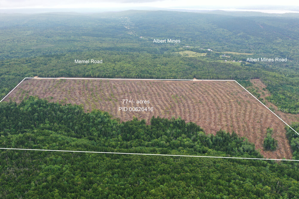
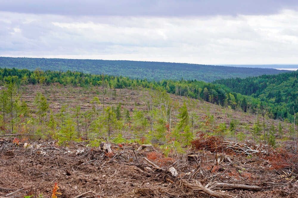
Drone view of the acreage. Looking in a Northerly direction towards Albert Mines Road and Albert Mines.
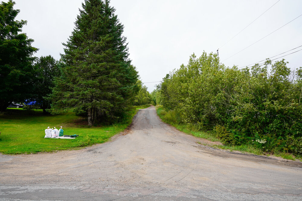
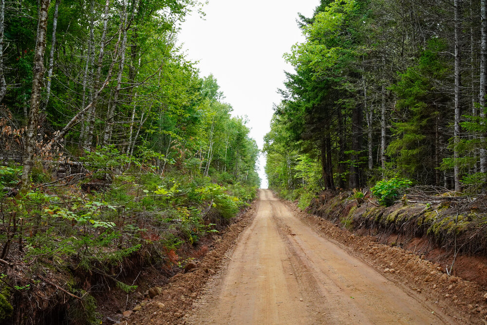
Looking up Memel Road from Albert Mines Road. The acreage is 1.1 kilometers in from here.


ALL that certain piece or parcel of woodland, situate at Curryville, in the Parish of Hopewell and County of Albert, New Brunswick. PID 00626416.
Size: 77+- acres (31.25 hectares)
- Good access via Albert Mines Road, Memel Road and the NB Trail 864.
- Nice elevated site with interesting topography ranging in elevation from 130 meters above sea level to 70 meters above sea level.
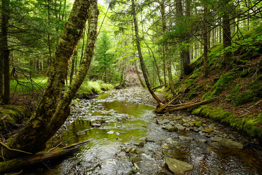
- Curryville Creek crosses through the property.
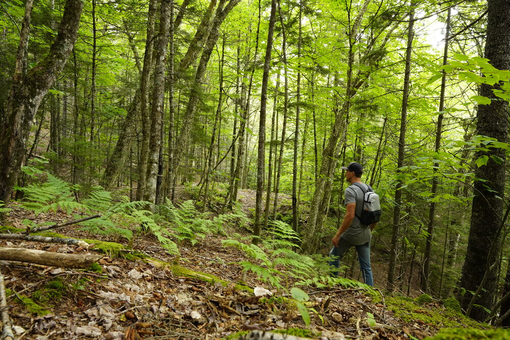
- Fantastic Hunting and Recreation on your land.
- A nice site for off-grid recreation camp / hunting camp and investment in east coast acreage.
- An active blueberry farm about a kilometer past your land along Memel Road.
- 35 minutes (35 kilometers) from the city of Moncton.
- Just 12 minutes (10 kilometers) from Hopewell Rocks Provincial Park.
- 45 minutes (46 kilometers) from Fundy National Park.
- Under 15 minutes (13 kilometers) from the Village of Hillsborough
- Borders mapped Provincial snowmobile trails with easy access to the trail networks between Fundy Park, Moncton and Sussex.
- Easy access to the mapped ATV trail network.
- Excellent mountain biking just outside of Hillsborough.
Sorry this property is SOLD. To see available lots and acreage in New Brunswick, click HERE.
Drone photo outlining the acreage. Looking in an Easterly direction back towards Albert Mines Road and Curryville.
Drone photo outlining the acreage. Looking in a Westerly direction towards the blueberry field at the end of Memel Road.
Drone view of the acreage. Looking in a Northerly direction towards Albert Mines Road and Albert Mines.
Looking up Memel Road from Albert Mines Road. The acreage is 1.1 kilometers in from here.

