17.4 acres Creek Road in Western New Brunswick
This great-sized surveyed property is ideally situated for recreation – just 20 minutes from the town of Woodstock and the Saint John River. An off-grid location with good seasonal access via Route 540 and Creek Road. Nearby Crown Lands. Lots of privacy! --- Sorry this property is SOLD ---
| Lot Size: | 17.4 acres |
| Location: | Creek Road, Kirkland, Carelton County, New Brunswick |
| Reference #: | NB-9646 |
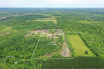
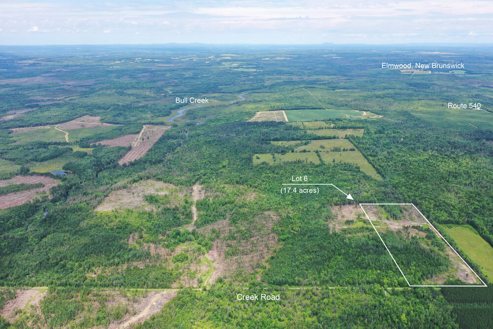
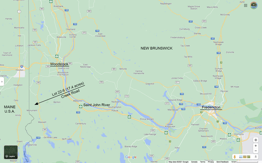
Drone photo looking in a northern direction. The 17.4 acres shown outlined.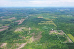
Drone photo looking in a northern direction. The 17.4 acres shown outlined.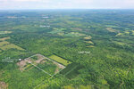
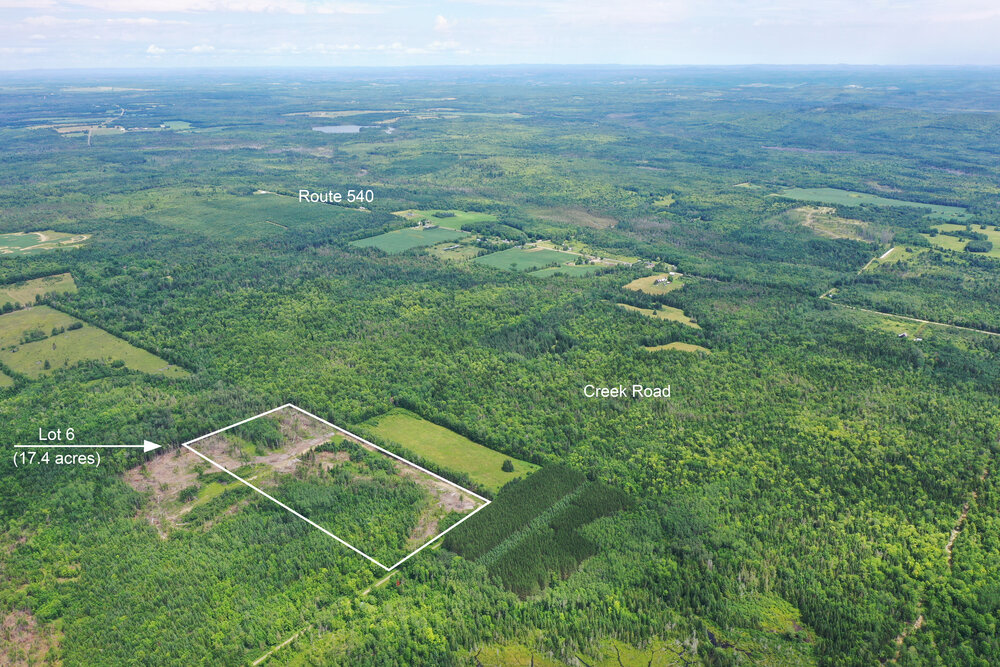
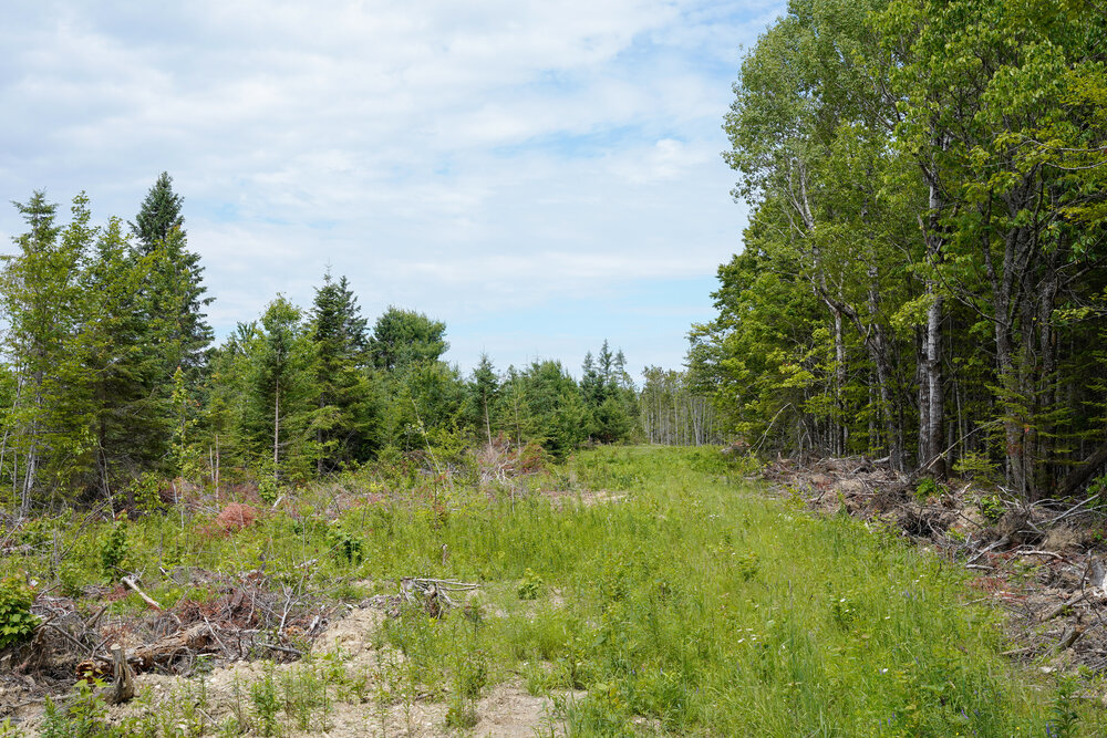
Looking in a northeasterly direction back towards the main road, Route 540. Your land is 1.2 kilometers from the main road.
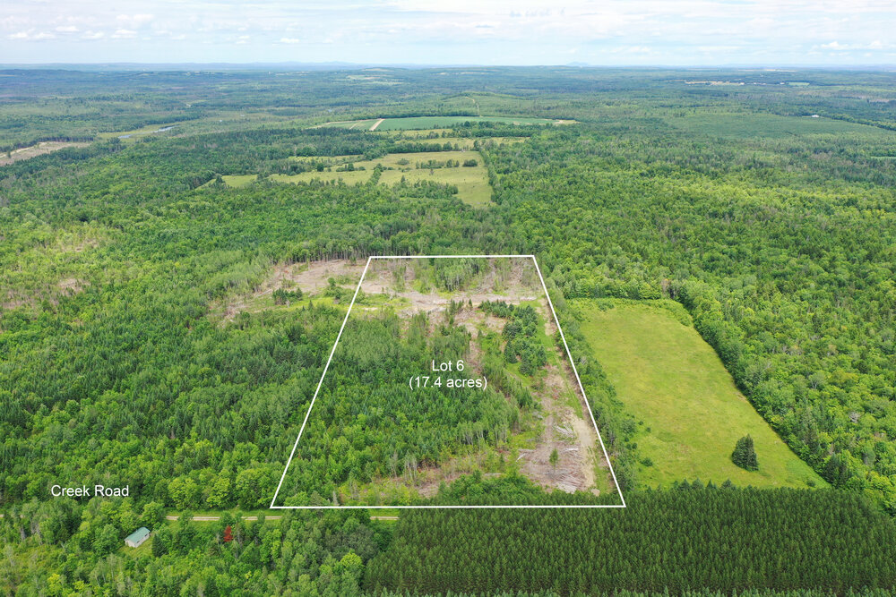
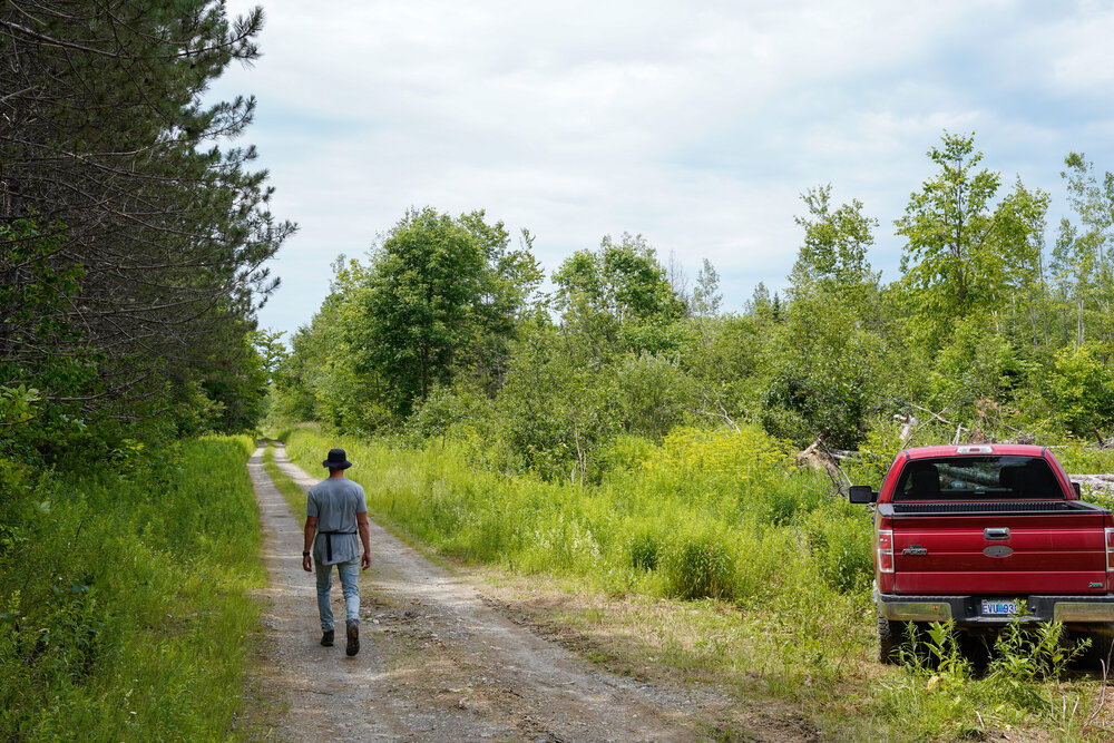
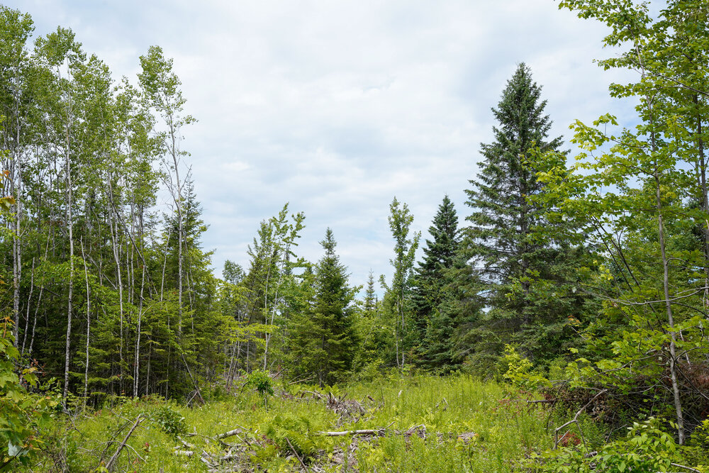
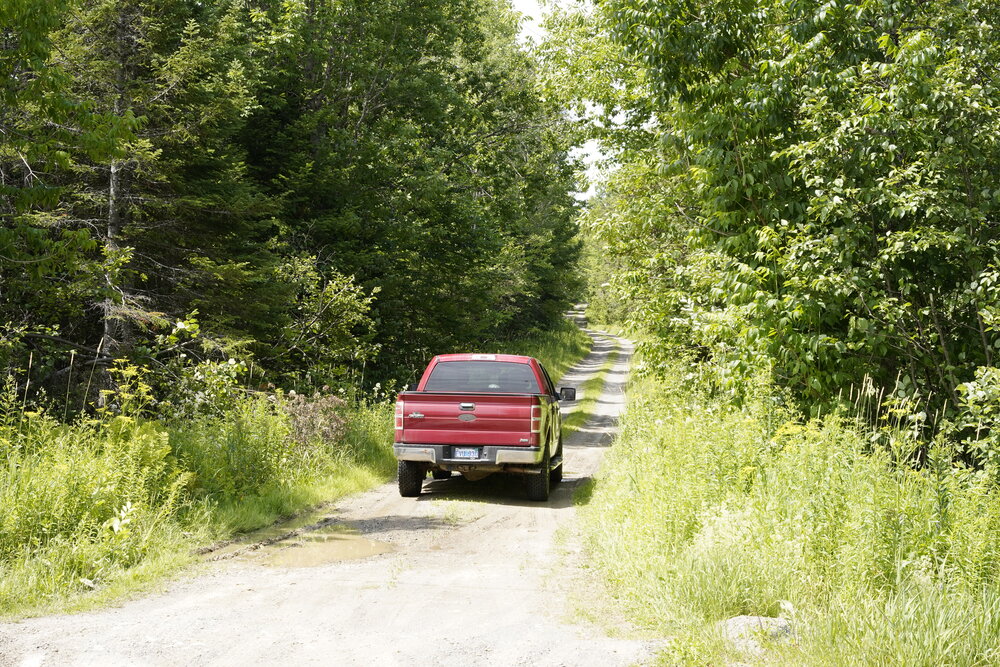
Creek Road and your lot on the right with 1362 feet road front looking ahead.
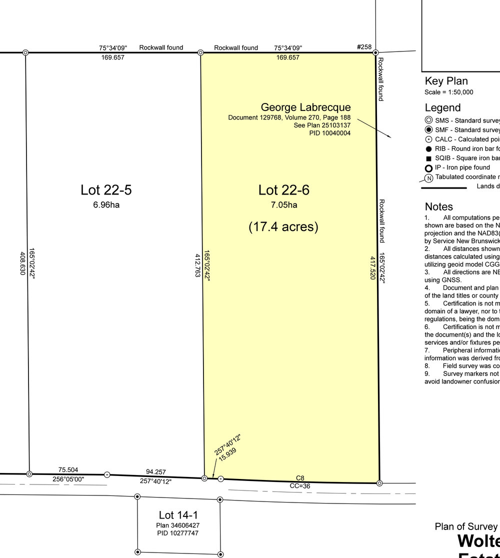

Land situate lying and being along Creek Road, in Kirkland, in the Parish of Richmond and County of Carleton, New Brunswick. Being Lot 6 on a plan of survey.
SIZE: 17.4 acres (7.05 hectares)
- 557.02 feet (169.781 meters) road front along Creek Road.
- An average depth of 1,362.01 feet (415.14 meters).
- Surveyed with property lines clearly marked.
- An off-grid location, 1.2 kilometers from the paved main road (Route 540) and electricity.
- Route 540 which leads you through the small communities, farmlands and woodlands.
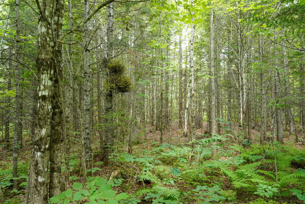
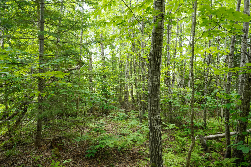
- Selectively harvested for timber over the last few years.
- Nice level terrain.
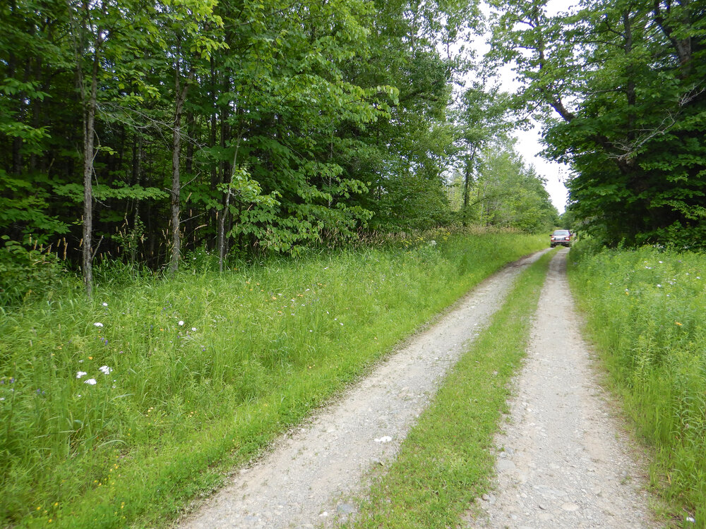
- Creek Road is a non-maintained gravel road providing good seasonal access to your land.
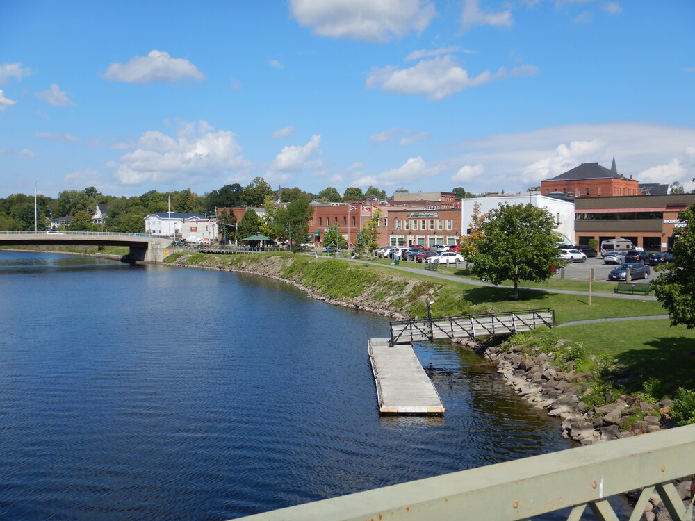
- Just 20 minutes (28 kilometers) to Town of Woodstock - a vibrant, prosperous community - the service centre of the Upper St. John River Valley. As well, the retail and commercial hub of the agricultural, forestry and transportation sectors in the regional economy.
- One hour from the City of Frederiction, the capital city of New Brunswick and Fredericton airport.
- Just 15 minutes (17 kilometers) to the Canada / Maine USA border.
This is a lovely property in Western New Brunswick nestled in an agriculturally rich region and within convenient distance of the Town of Woodstock, the city of Frederiction, and the Maine, USA border.
On 17+ acres, you have plenty of privacy and room to develop the land to your liking while maintaining plenty of privacy along this quiet stretch of road. There are no restrictive covenants or requirements to develop your land within a specific time frame making this an attractive long-term land holding with low ownership costs and no obligations.
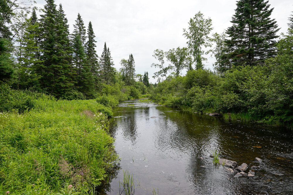
Follow Creek Road past your land for a few kilometers to its end, and you reach recreational trail # 5002 and the Ball River. The trail provides access to a wonderful network of ATV trails to explore, leading into a few thousand acres of crown lands.
Sorry, this property is SOLD. To view available lots and acreage in New Brunswick, click HERE.
Drone photo looking in a northern direction. The 17.4 acres shown outlined.
Drone photo looking in a northern direction. The 17.4 acres shown outlined.
Looking in a northeasterly direction back towards the main road, Route 540. Your land is 1.2 kilometers from the main road.
Creek Road and your lot on the right with 1362 feet road front looking ahead.

