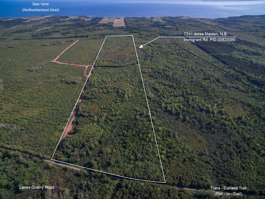
NB-008 - 73+/ acres For Sale on Trans-Canada Trail
Situated along the Trans Canada Trail, close to the seaside communities of Bayfield and Cape Tormentine and the Ocean, lies this woodland property offering plenty of privacy and recreation potential. The Trans Canada Trail is ideal for walking, wildlife observation, cycling, horseback riding and snowmobiling. An ideal property for resource and recreation camping. --- Sorry this acreage is SOLD ---
| Lot Size: | 73+/- acres |
| Location: | Malden, in the Province of New Brunswick, Canada. |
| Reference #: | NB-008 |
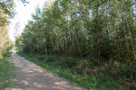
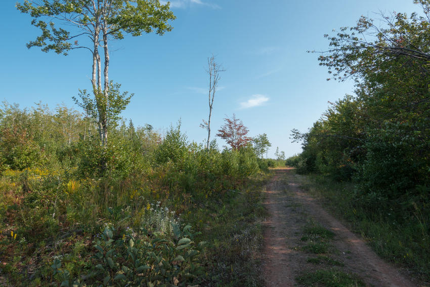
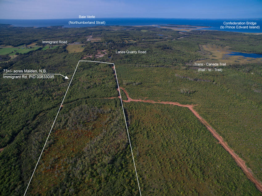
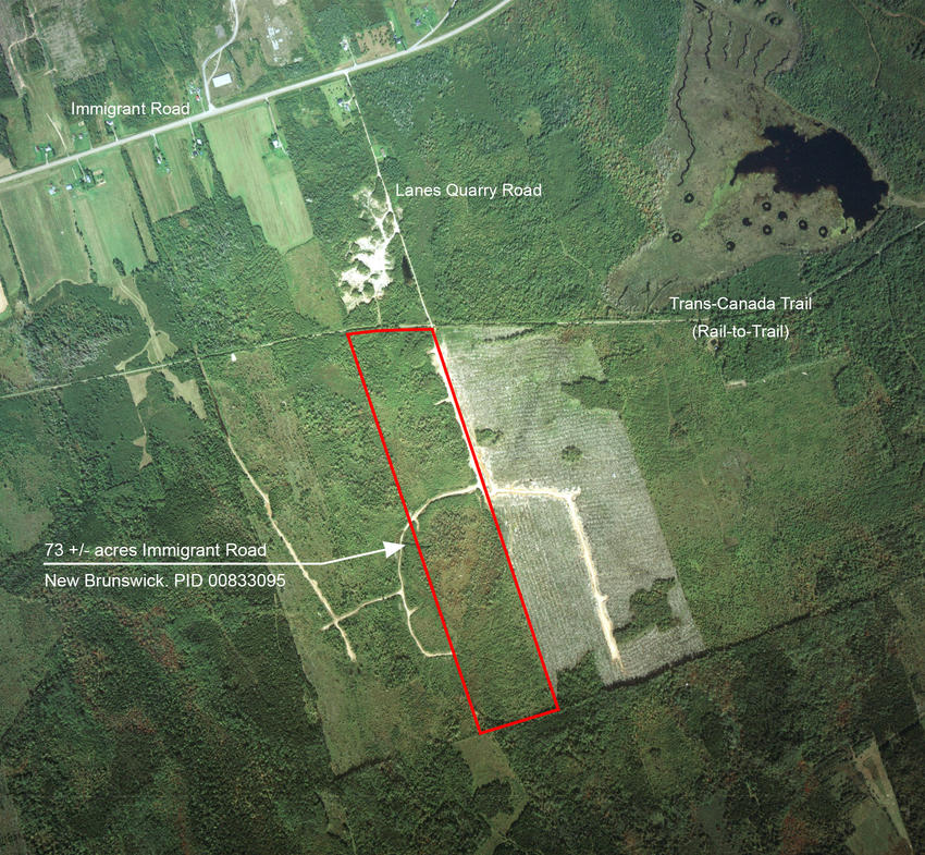
This is your land from along the Trans-Canada Trail (Rail to Trail). The 73 acres lies on the south side of the trail with approximately 810 feet frontage.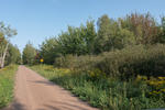
Another picture along the Rail to Trail. Your 73 acres is on the right.
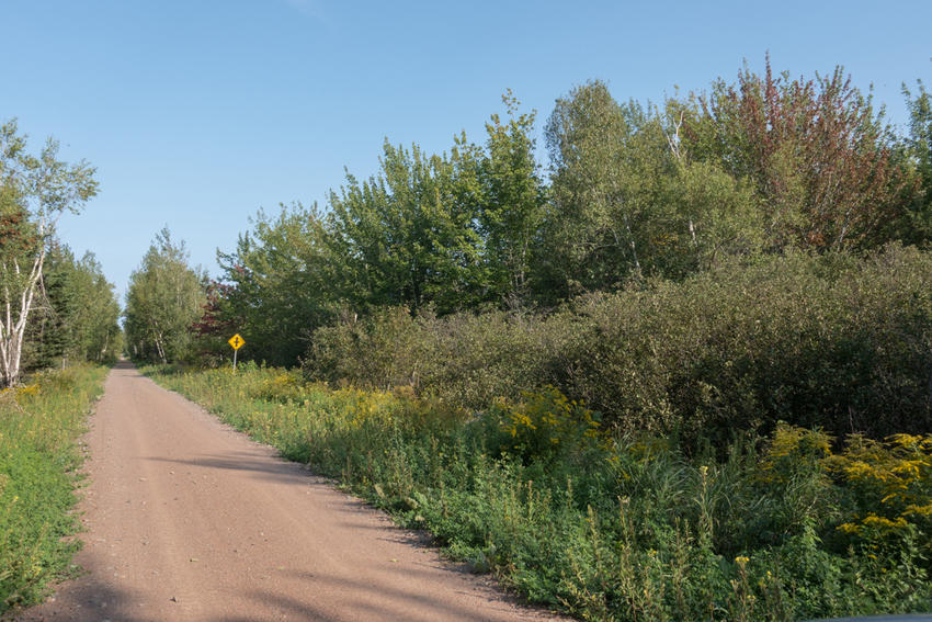
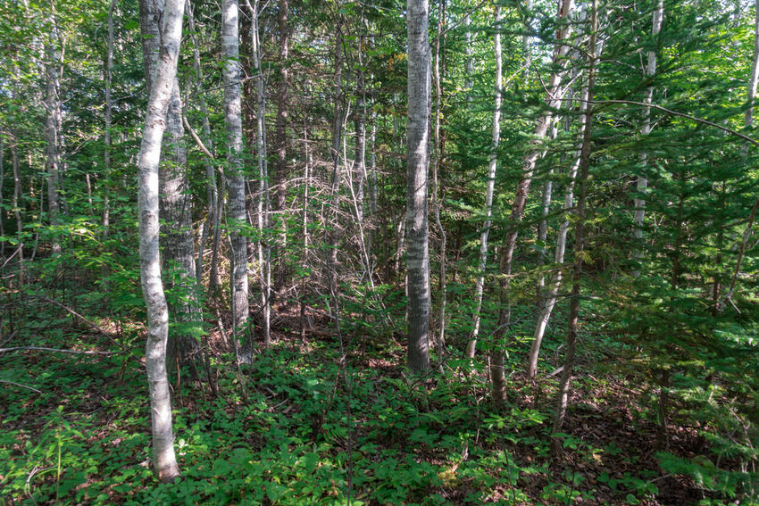
Looking up along the woods road that runs up along the easterly side of your land.
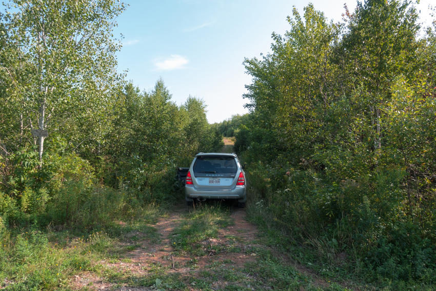
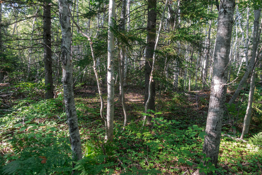
Another picture of the woods road. Your land is on the right.

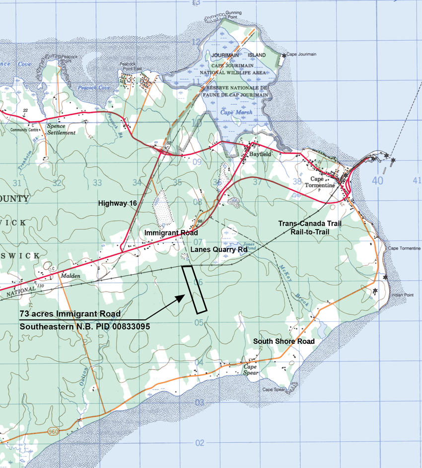
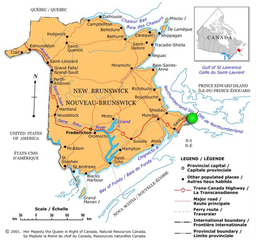
Land situated at Malden, in the Parish of Botsford, County of Westmorland and Province of New Brunswick, CANADA.
SIZE: 29.52 hectares (73+/- acres)
- Your property borders the Trans Canada Trail.
- Conveniently located between the Village of Port Elgin and the Hamlets of Bayfield and Cape Tormentine.
- Excellent hunting for Moose, White Tail Deer, Black Bear and small game.
- Close to the Ocean and beaches.
- No electricity or phone service to the property.
- Access is via a non-designated road, Lanes Quarry Road via Immigrant Road and via Trans Canada Trail.
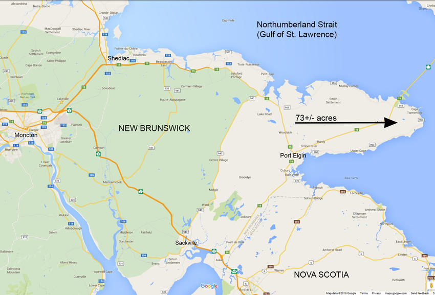
- About 1 hour from the City of Moncton and their international airport.
A great sized woodland acreage featuring approximately 810 feet (247 meters) frontage on the southerly side of the Trans Canada Trail. The trail’s smooth gravel surface is ideal for walking, cycling, nature observation, horseback riding and snowmobiling. Follow the trail 20 kilometers west, to the Village of Port Elgin or 5 kilometers east to Cape Tormentine, Bayfield and the Ocean. Easterly, southerly and westerly property boundaries measure approximately 3,874 feet (1181 meters), 826 feet (252 meters) and 4,114 feet (1254 meters) respectfully.
Access to your land is via the Trans-Canada Highway, Highway 16, linking the Province of New Brunswick and the Province of Prince Edward Island via the Confederation Bridge (the world’s longest bridge over ice covered waters). Exit Highway 16 onto Immigrant Road and then Lanes Quarry Road to your land on the Trans-Canada Trail.
There is a woods road that runs along the easterly boundary of your land and provides great access within your land. The road runs back approximately 2000 feet into the land before crossing over to an adjoining woodlot.
The parcel is nicely treed throughout in stands of mixed wood - Birch, Maple, Poplar, Fir, Spruce and Pine. There appears to be an area approximately 10+/- acres in area of moose pasture attracting plenty of wildlife. A parcel of this size will hold excellent timber value in 20+/- years with little to no maintenance required.
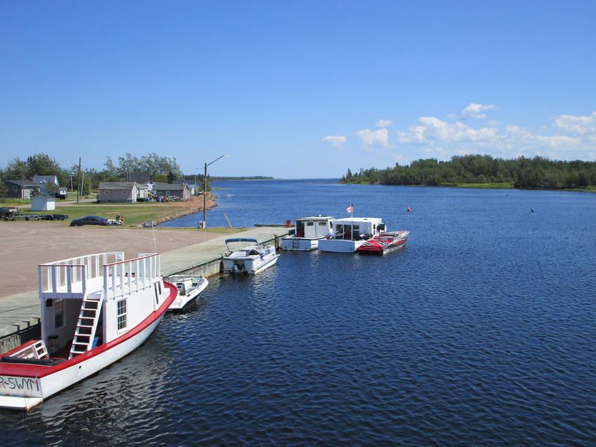
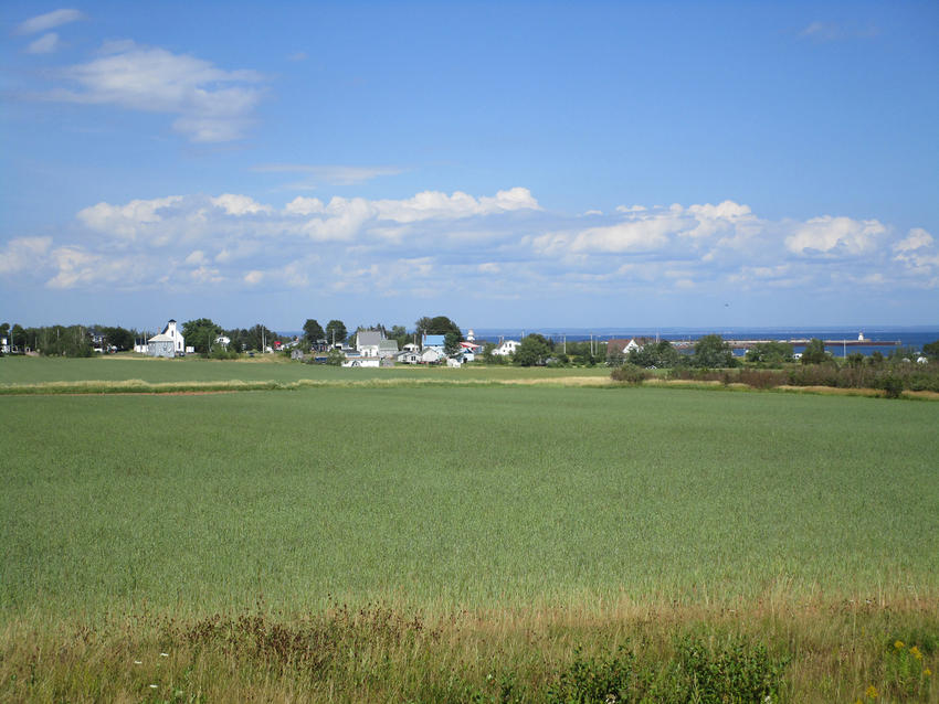
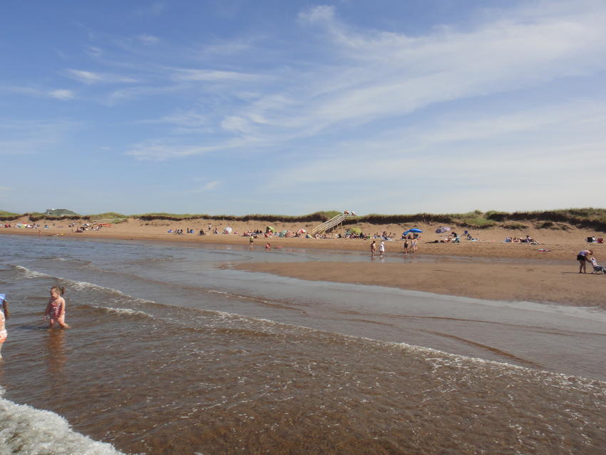
A short drive or walk east from your property takes you to wide sandy beaches at Cape Tormentine - a great place to relax, sunbathe and enjoy magnificent views of the Ocean and Confederation Bridge linking New Brunswick and Prince Edward Island. Clam digging and splashing around in the warm waters along the shores of Baie Verte are a favourite pastime among children.
Location is very good. You are one hour from the City of Moncton, the Province of New Brunswick’s second largest city and heart of the fastest growing urban area in the province; the lovely Town of Sackville is 35 minutes distant and has restaurants, cafes, a hospital, University, and schools; the charming Village of Port Elgin is 20 minutes west along highway # 16.
An ideal acreage for recreation and investment!
Sorry this acreage is SOLD. To view more of our property listings in New Brunswick, click here.
This is your land from along the Trans-Canada Trail (Rail to Trail). The 73 acres lies on the south side of the trail with approximately 810 feet frontage.
Another picture along the Rail to Trail. Your 73 acres is on the right.
Looking up along the woods road that runs up along the easterly side of your land.
Another picture of the woods road. Your land is on the right.

